


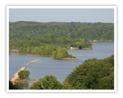
 Western Kentucky offers the beauty of Kentucky’s largest lakes mixed with diverse cultural heritage and the arts.
Whether you like to swim with the fish or catch them, Western Kentucky’s Lakes & Rivers Region offers ideal opportunities for outdoor recreation. The Ohio, Cumberland, Tennessee and Mississippi Rivers, combined with Lake Barkley & Kentucky Lake, create a virtual playground of recreation in the 15 counties of western Kentucky. Fishing, hunting, boating, hiking and wildlife viewing are just a few of our many outdoor opportunities.
Naturally, there are unlimited opportunities for fun on the water, but on land you can enjoy the beautiful parks and privately-owned resorts, quaint bed and breakfasts and hotels/motels around the region. Enjoy trips to history museums and art galleries, golf, tennis, horseback riding and more. Make plans to attend some of the one-of-a-kind festivals and other special events that add to the unique heritage and culture throughout the region.
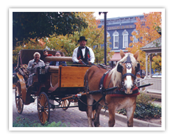 Get your bags packed. Then sit back, relax, prop up your feet and stay for a while. Your friends in Western Kentucky’s Lakes & Rivers Region welcome you with Southern hospitality.
Be warned, however, the relaxing environment might be contagious. You could find yourself waving at strangers, feeling safe in a crowd and sharing fish stories with the locals. You might forget about the stresses of everyday life and focus on the simple things, like teaching a child to bait a hook, learning to sail, rediscovering your passion for American history or finding that perfect antique.
Know where you're going and what you're doing? Grab a downloadable map featuring part of Kentucky's Western Waterland!
|
KWW Regional Map |
Marion Map |
Kentucky Lake & Lake Barkley Map |
 Wildlife Management Areas |
|
Land Between The Lakes General Map |
Land Between The Lakes Facilities Map |
North/South Hiking/Biking Trail Map |
 Canal LoopTrail Map |
|
Fort Henry Trail Map |
Turkey Bay OHV Map |
LBL Habitat Map |
 Wranglers Campground Trail Map |
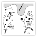 Energy Lake Campground Map |
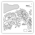 Hillman Ferry Campground Map |
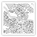 Piney Campground Map |
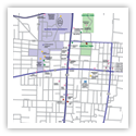 Murray Map |
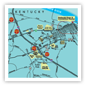 Paducah Map |
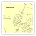 Oak Grove Map |
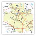 Hopkinsville Map |
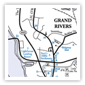 Grand Rivers Map |
Time Zone: Central
Area Code for Western KY: 270
TRANSPORTATION
AIR SERVICE:
Paducah’s Barkley Regional Airport: ;
Serviced by:
• United Continental:
RENTAL CARS AND TAXI SERVICES
are available at the airport.
• Hertz:
• Avis:
• Paducah Taxi Service:
GENERAL AVIATION AIRPORTS
• Cadiz (Lake Barkley State Resort Park) paved – 4800 feet
• Dawson Springs – turf – 2900 ft.
• Elkton – turf -- 2800 ft.
• Fulton – paved – 2700 ft.
• Gilbertsville (Ky Dam Village State Park) paved – 4000 ft.
• Hopkinsville – paved – 5500 ft.
• Marion – paved – 4000 ft.
• Mayfield – paved – 4600 ft.
• Murray – paved – 6200 ft.
• Paducah – paved – 6500 ft. & 5500 ft.
• Princeton – paved – 3300 ft.
Most of the area resorts provide a shuttle service to and from the nearby airports.
BUS LINE:
Greyhound Bus Lines operates a terminal in Paducah and provides airport service from Nashville, Memphis and St. Louis.
Call Greyhound for information from other major cities. .
AMTRAK:
Rail service is available at Fulton, Kentucky .
Area & State visitor's guides & brochures!


See what western Ky has to offer!

Search who, what, when & where!
